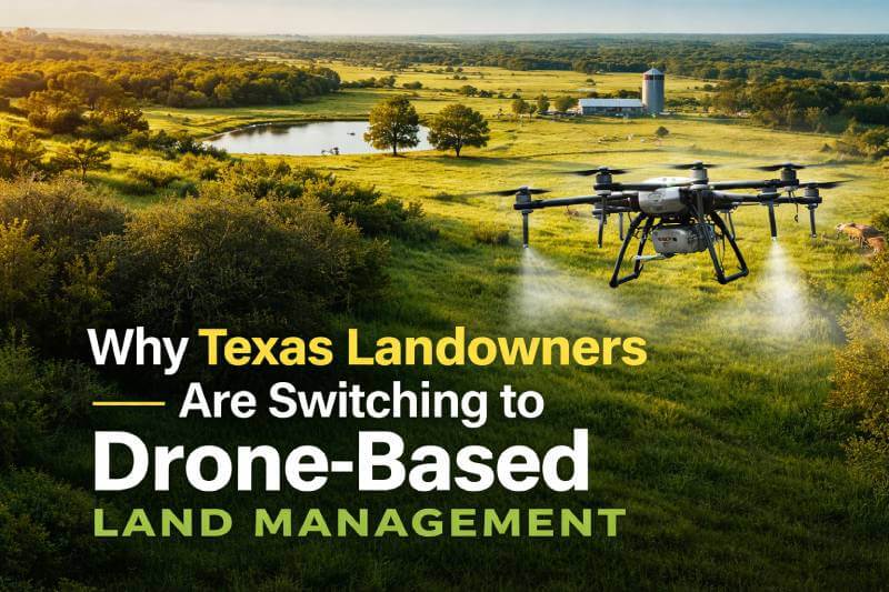
Texas landowners are facing new challenges in vegetation control, brush management, and wildlife habitat sustainability. From expanding invasive plant species to rising labor costs and environmental concerns, traditional land management methods are no longer as efficient—or as practical—as they once were.
As a result, more ranchers, property owners, and land managers across Texas are turning to drone-based land management as a smarter, faster, and more precise solution.
But why is this shift happening so quickly?
Let’s explore what’s driving this transformation.
The Changing Landscape of Land Management in Texas
Texas properties are unique. From large ranches in North Texas to wildlife properties in Central and East Texas, landowners manage thousands of acres of diverse terrain.
Common challenges include:
- Invasive brush and weed overgrowth
- Uneven pasture health
- Wildlife habitat imbalance
- Hard-to-access areas
- Rising fuel and labor costs
Traditional ground crews and heavy machinery often disturb soil, damage surrounding vegetation, and increase operational expenses.
Drone technology is changing that.
What Is Drone-Based Land Management?
Drone-based land management uses GPS-guided aerial systems to:
- Apply vegetation treatments precisely
- Conduct aerial land surveys
- Perform brush management
- Improve wildlife habitats
- Map acreage and vegetation density
Instead of relying solely on ground crews or tractors, drones fly above the land, delivering targeted solutions with minimal environmental disruption.
For large Texas properties, this creates a major advantage.
5 Reasons Texas Landowners Are Making the Switch
1. Precision Treatment Saves Chemicals and Protects Land
One of the biggest benefits of aerial vegetation management in Texas is precision.
Drone systems use GPS mapping to treat only affected areas—reducing overspray and minimizing chemical waste.
This means:
- Healthier surrounding vegetation
- Less runoff
- Lower environmental impact
- Reduced overall chemical usage
For landowners focused on sustainability, this is a major win.
Know more : Aerial Vegetation Management
2. Reduced Environmental Impact
Traditional heavy equipment can compact soil, disturb wildlife habitats, and damage delicate terrain.
Drone-based solutions eliminate:
- Tire tracks
- Soil compaction
- Access road damage
- Disruption to grazing areas
For Texas ranches and wildlife properties, preserving land integrity is critical.
3. Faster Coverage for Large Acreage
Texas landowners often manage hundreds or thousands of acres.
Drone spraying and aerial management can:
- Cover large areas quickly
- Access steep or wooded terrain
- Reach areas tractors cannot
- Reduce manpower requirements
Time savings translate directly into cost savings.
4. Lower Long-Term Operational Costs
While traditional crews require:
- Fuel
- Equipment maintenance
- Large labor teams
Drone operations require significantly less overhead.
Over time, this reduces overall land management costs—especially for recurring vegetation control programs.
Know More: Custom Aerial Solutions
5. Better Wildlife Habitat Management
Texas landowners who manage properties for deer, livestock, or conservation are increasingly focused on habitat health.
Drone technology allows:
- Strategic vegetation thinning
- Improved food plot management
- Waterway preservation
- Targeted invasive species removal
This creates healthier ecosystems without excessive land disruption.
Know More: Wildlife Habitat Management Service
Drone Land Management vs Traditional Methods
| Traditional Methods | Drone-Based Management |
|---|---|
| Heavy machinery | Lightweight aerial systems |
| High fuel usage | Lower operating costs |
| Soil disruption | Minimal land disturbance |
| Less precise spraying | GPS-guided precision |
| Slower on large acreage | Efficient aerial coverage |
For many Texas properties, the comparison is clear.
How Aerial Mapping Improves Results
Modern drone land management isn’t just about spraying.
It also includes advanced aerial mapping and data collection.
High-resolution imaging allows landowners to:
- Identify vegetation density
- Track land changes over time
- Plan strategic treatments
- Monitor before-and-after results
This data-driven approach improves long-term land health.
Learn more about: Educated and Trained by Texas A&M AgriLife Extension
Is Drone Land Management Right for Your Texas Property?
Drone-based land management is ideal for:
- Ranches
- Large acreage landowners
- Wildlife properties
- Agricultural transition properties
- Commercial rural land
If your property struggles with brush overgrowth, invasive vegetation, or uneven habitat management, aerial solutions may provide measurable improvements.
Why Higher Ground Aerial Is Built for Texas Landowners
At Higher Ground Aerial, we understand Texas terrain, climate conditions, and land management challenges.
Our drone-based land management services are designed specifically for:
- Large Texas ranches
- Wildlife habitat properties
- Rural landowners
- Conservation-focused properties
We combine precision drone technology with land management expertise to deliver efficient, environmentally responsible results.
If you’re ready to improve your property without heavy equipment damage or unnecessary chemical waste, we’re here to help.
Request a Free Land Assessment Today
Frequently Asked Questions
Yes. Licensed drone operators can legally perform aerial applications under FAA and state agricultural regulations.
Yes. Precision application reduces overspray and protects surrounding habitat compared to traditional methods.
Costs vary based on acreage, terrain, and treatment type. However, many landowners find it more cost-efficient long term compared to traditional crews.
Yes. Modern drone systems are designed to efficiently manage large acreage properties.