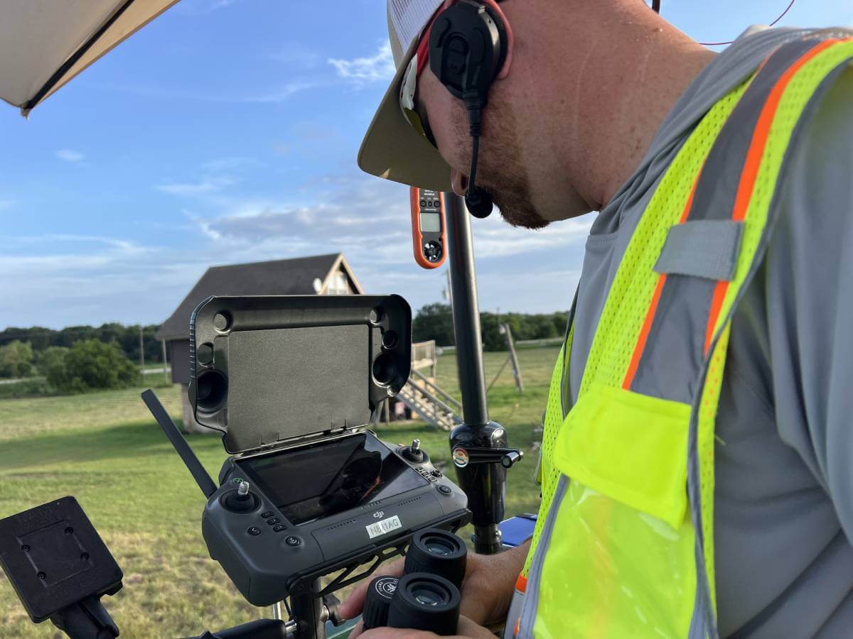
Wildlife habitat planning is a complex process—one that requires accurate land insights, consistent monitoring, and a deep understanding of how vegetation, terrain, and environmental conditions interact. Traditionally, this type of analysis demanded countless hours of manual surveying, on-foot inspections, and guesswork.
Today, aerial mapping has changed everything.
Drone-powered mapping provides landowners, wildlife managers, and conservation teams with the precise data needed to make informed decisions that support long-term habitat health. Here’s why aerial mapping has become an essential tool for modern wildlife habitat planning.
1. Aerial Mapping Provides Accurate, High-Resolution Land Data
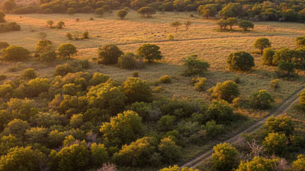
At the core of effective habitat planning is understanding the land—and drones deliver this better than any traditional method.
With high-resolution imagery and detailed topographic data, aerial mapping captures:
- Vegetation density
- Brush patterns
- Water flow and drainage paths
- Food plot coverage
- Wildlife activity areas
- Habitat loss or encroachment
These insights help managers identify where improvements are needed and where existing habitat features are thriving.
Why it matters:
Better data leads to smarter habitat decisions—resulting in healthier wildlife populations.
2. It Reveals Vegetation Patterns That Affect Wildlife Behavior
Vegetation distribution plays a major role in wildlife movement and habitat use. Drones allow land managers to visualize:
- Thick brush areas that provide cover
- Open land that may need enhancement
- Overgrown regions impacting food availability
- Patterns of invasive plant spread
Instead of relying on on-foot observations, aerial mapping shows the full picture in minutes.
This makes it easier to plan food plots, bedding areas, migration paths, and safe zones that align with wildlife needs.
3. Aerial Mapping Helps Identify Habitat Problems Early
Erosion. Flood impacts. Invasive species. Water stagnation. Vegetation stress.
Issues like these can quietly reduce habitat quality if they go unnoticed.
Aerial imagery highlights subtle changes in the landscape that often can’t be seen from the ground, allowing managers to respond before small issues become serious problems.
Early detection means:
- Lower restoration costs
- Improved habitat health
- Faster corrective action
- Better long-term outcomes for wildlife
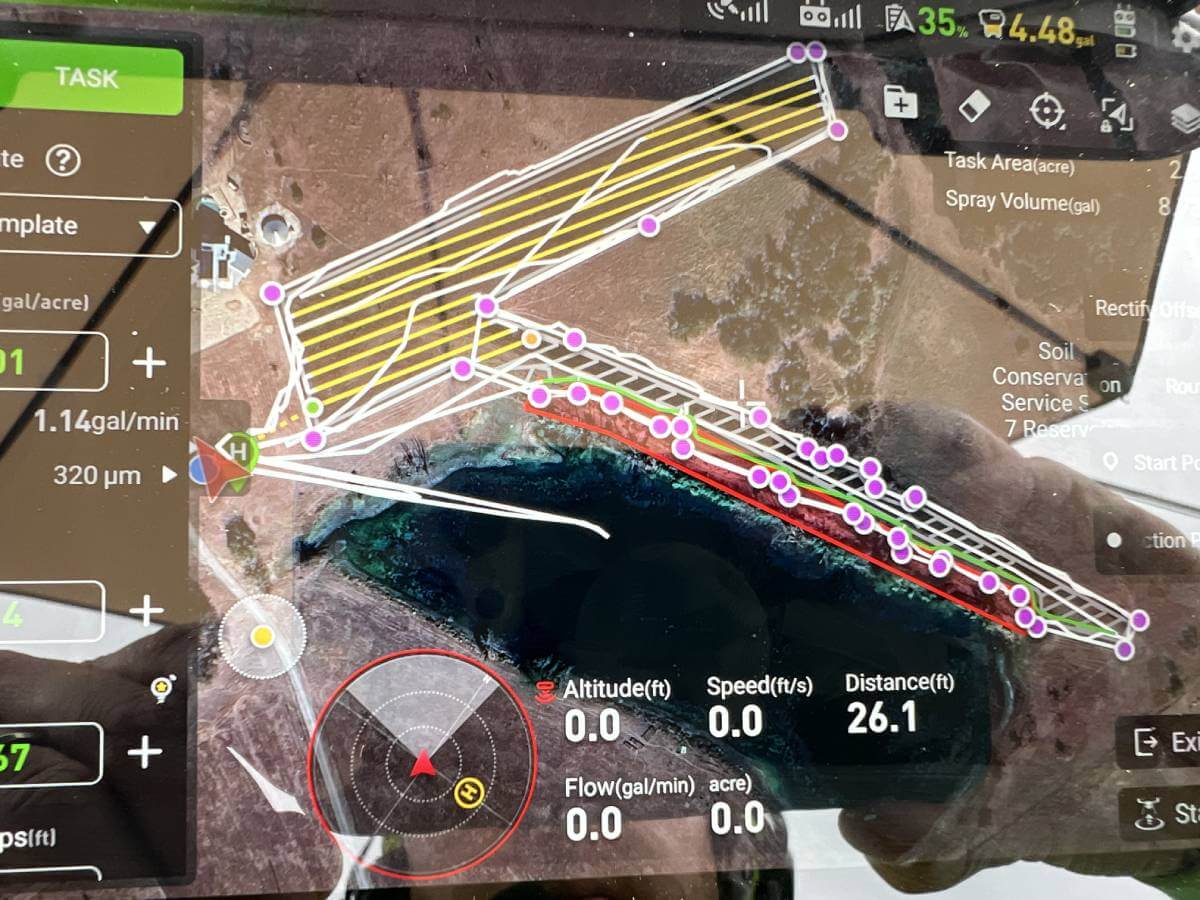
4. Mapping Supports Better Food Plot and Land Improvement Planning
Creating productive food plots or improving grazing and forage areas requires precise spatial planning.
Aerial mapping helps determine:
- The best plot shapes and locations
- Soil and moisture patterns
- Shading and cover levels
- Drainage and water pathways
- Surrounding vegetation impact
With accurate data, wildlife managers can design food plots that are efficient, sustainable, and beneficial for targeted species.
5. It Makes Habitat Monitoring Faster and More Consistent
Monitoring large wildlife properties on foot is time-consuming and inconsistent. Weather, accessibility, and labor limitations make regular inspections difficult.
Drone mapping allows for:
- Frequent data collection
- Time-stamped progress tracking
- Google Maps-style before/after comparison
- Consistent evaluation methods
This is especially valuable for ranches, preserves, and large wildlife areas where conditions change quickly.
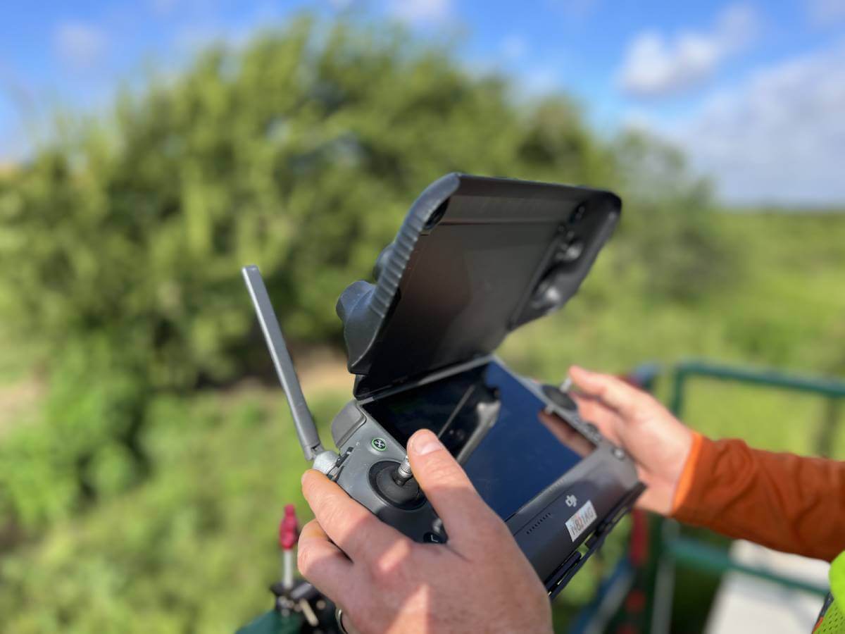
6. Aerial Mapping Improves Safety for Landowners and Crews
Some parts of a property may be steep, overgrown, or physically dangerous to inspect. Drones eliminate this risk entirely.
With a simple flyover, you can map hundreds of acres without putting anyone in harm’s way.
7. It Enhances Decision-Making for Conservation and Wildlife Growth
Better data leads to better habitat outcomes.
Aerial mapping provides the insights needed to:
- Restore degraded land
- Improve migration corridors
- Optimize bedding and forage areas
- Balance predator and prey ecosystems
- Plan long-term habitat development
When used consistently, mapping becomes a powerful tool for sustaining wildlife populations and improving land health for years to come.
Final Thoughts: Aerial Mapping Is No Longer Optional—It’s Essential
In today’s world of modern wildlife management, aerial mapping is a foundational tool. It allows landowners and conservation teams to see their property from a new perspective, revealing patterns and opportunities that simply can’t be detected from the ground.
Whether you’re managing a small ranch, a large wildlife preserve, or a multi-acre conservation project, aerial mapping provides the clarity needed to make smarter, faster, and more impactful habitat decisions.