Why Aerial Mapping Is Essential for Wildlife Habitat Planning
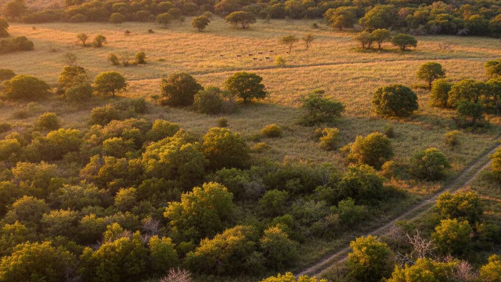
Wildlife habitat planning is a complex process—one that requires accurate land insights, consistent monitoring, and a deep understanding of how vegetation, terrain, and environmental conditions interact. Traditionally, this type of analysis demanded countless hours of manual surveying, on-foot inspections, and guesswork. Today, aerial mapping has changed everything. Drone-powered mapping provides landowners, wildlife managers, and conservation […]