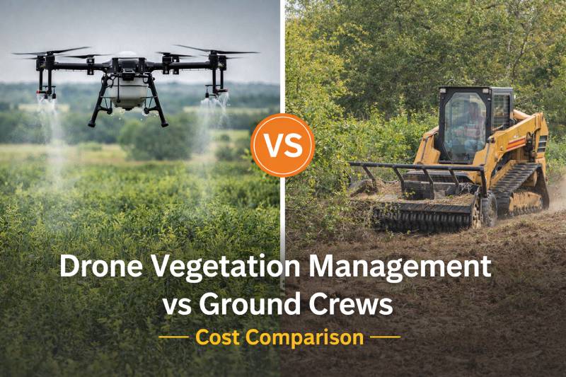
Why Texas Landowners Are Switching to Drone-Based Land Management
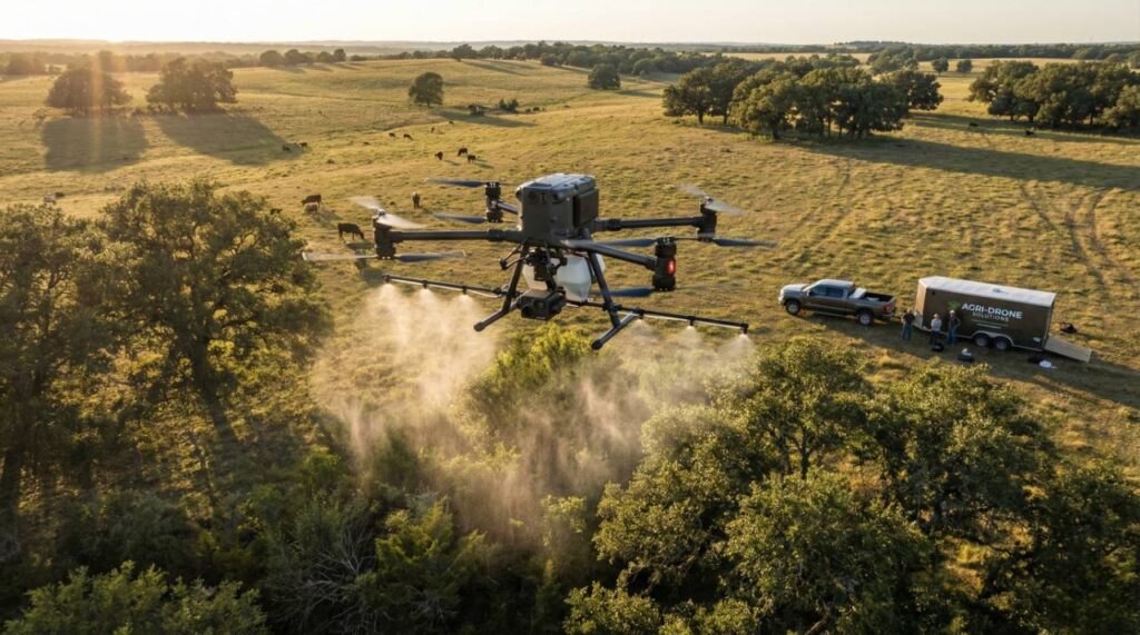
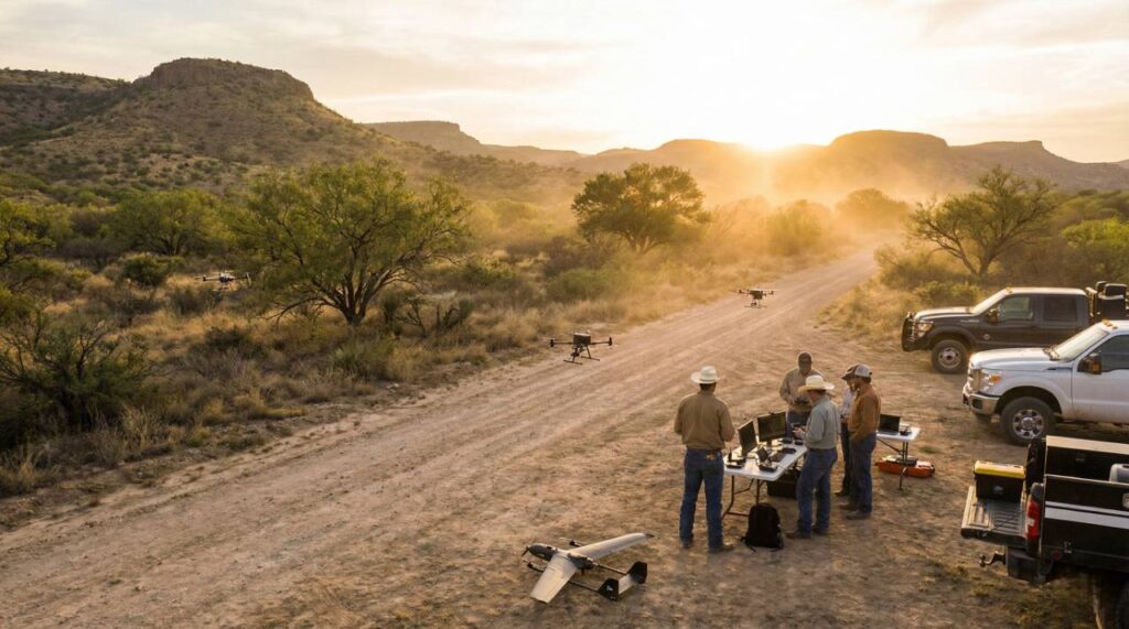
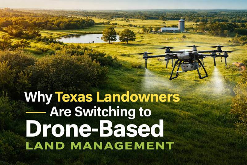
Texas landowners are facing new challenges in vegetation control, brush management, and wildlife habitat sustainability. From expanding invasive plant species to rising labor costs and environmental concerns, traditional land management methods are no longer as efficient—or as practical—as they once were. As a result, more ranchers, property owners, and land managers across Texas are turning […]