About Higher Ground Aerial Land and Wildlife
FAA Licensed Drone Vegetation Experts in Texas & Oklahoma
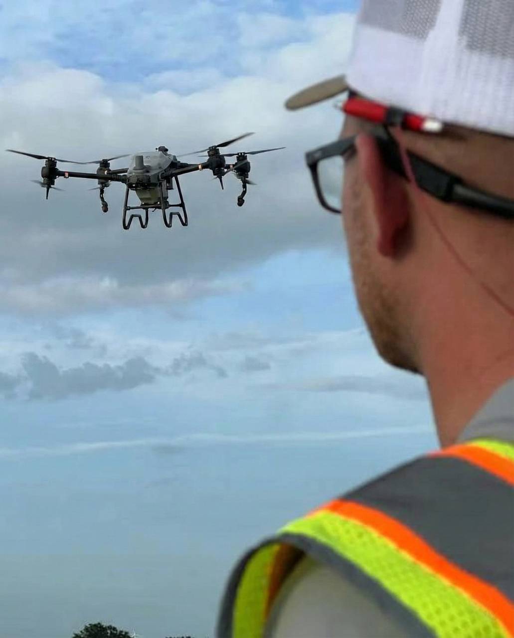
Higher Ground Aerial Land and Wildlife specializes in precision aerial vegetation control and habitat improvement using FAA-licensed spray drones. We support public agencies and large landowners by safely managing invasive and aquatic vegetation in areas that are difficult or unsafe to reach with traditional equipment.
Our Story
Innovating the Future of Aerial Land & Wildlife Management
Higher Ground Aerial Land and Wildlife provides custom aerial vegetation and habitat management solutions designed for public agencies and large landowners.
Our drone-based services support:
- Vegetation control in sensitive or hazardous terrain
- Habitat improvement and conservation efforts
- Brush and invasive species management
- Aerial mapping and land assessment
We deliver safe, precise, and efficient results while minimizing environmental impact and operational risk.
Higher Ground Aerial Land and Wildlife is fully licensed to operate in Texas and Oklahoma, holding FAA authorization along with state pesticide applicator licenses issued by the Texas Department of Agriculture (TDA) and the Oklahoma Department of Agriculture, Food & Forestry (ODAFF).
Our credentials support aerial, aquatic, and right-of-way vegetation management, ensuring all work is performed safely, legally, and in full regulatory compliance.
Our Process
Steps to Precision Aerial Land Management
1. Consult
We assess your site, vegetation challenges, access conditions, and goals to define the right aerial solution.
2. Survey & Plan
Aerial mapping and site data guide a custom, compliant treatment plan built for precision and environmental responsibility.
3. Execute
Licensed drone specialists deliver targeted applications with safe, efficient, and measurable results—no heavy equipment required.
The Goal
Our Mission
To deliver high-precision, efficient, and environmentally responsible aerial vegetation control and habitat improvement using FAA-licensed drone technology and specialized application expertise.
The Outlook
Our Vision
A future where modern drone technology transforms how land is restored, managed, and preserved.
The Team
Meet Our Team

Ana Parrish
Co-Founder
Jonathan "JP" Parrish
Co-Founder/Aerial Pilot Applicator

Cessy Sanchez
Admin/Office Administrator