Watershed/Dam Vegetation Control
Wildlife Habitat improvement
Aquatic Aerial Spraying Service
Aerial Vegetation Management

Mesquite Control
Cactus Control Solutions
Drone and Levee Dam Inspection
Forestry Site Prep/Brush Management
Wildlife management services and Drone Vegetation Services Texas and Oklahoma. Safe, compliant, and precision aerial solutions.
All Services
Explore our comprehensive drone-based services designed to improve land health and control invasive vegetation across Texas and Oklahoma. In addition, our aerial solutions enhance wildlife environments with greater precision and efficiency. As a result, clients receive safer, faster, and more compliant vegetation management.
Our aerial drone seeding services support wildlife habitat improvement for duck hunting clubs, bottomland properties, and upland areas. In addition, targeted applications improve biodiversity and strengthen natural food sources for waterfowl, deer, turkey, and quail. Because treatments are precise, native vegetation remains protected. As a result, long-term habitat health improves across managed properties.
We treat invasive aquatic vegetation in ponds, lakes, rivers, and drainage systems throughout Texas and Oklahoma. Because aquatic environments require careful application, our drones deliver controlled herbicide treatments with minimal drift. In addition, regulatory compliance is maintained on every project. As a result, water quality and ecosystem balance improve safely and efficiently.
Our aerial vegetation management services target invasive plants in industrial sites, watersheds, and public infrastructure. At the same time, environmental impact remains low due to precise aerial application. Because treatments are controlled and data-driven, unwanted growth is removed without disturbing healthy vegetation. As a result, landowners benefit from improved access, safety, and compliance.
We provide targeted mesquite control using precision aerial herbicide application across large Texas and Oklahoma properties. Because mesquite spreads aggressively, early treatment is critical for long-term land health. In addition, controlled application reduces unnecessary chemical use. As a result, biodiversity improves while maintenance costs decrease over time.
Our cactus control solutions address invasive prickly pear and other nuisance species using precision drone application. In addition, aerial treatment allows access to rough or uneven terrain without ground disturbance. Because droplet size is controlled, treatments remain accurate and efficient. As a result, land usability and property value improve.
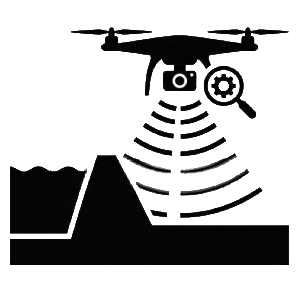
We use advanced multispectral drone imaging to inspect levees, dams, and flood control systems. Because early detection prevents costly damage, routine aerial inspection is essential for infrastructure maintenance. In addition, imaging identifies vegetation issues, moisture buildup, and structural weaknesses. As a result, agencies can respond proactively and reduce long-term repair costs.
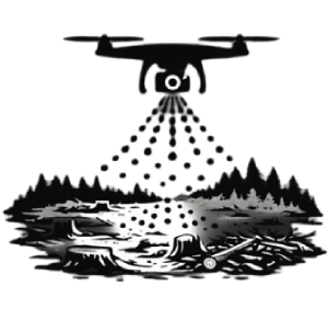
Our forestry site preparation and brush management services support healthy regrowth and safer land conditions. Because overgrowth increases fire risk, targeted vegetation control is critical. In addition, aerial application improves accessibility without heavy equipment damage. As a result, forests remain productive and sustainable.
How It Works
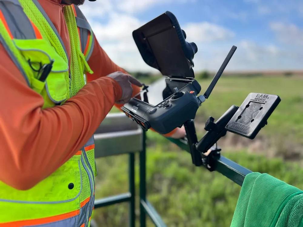
First, we begin with a consultation to understand your land and project goals. Next, aerial mapping is performed to assess vegetation density and terrain conditions.
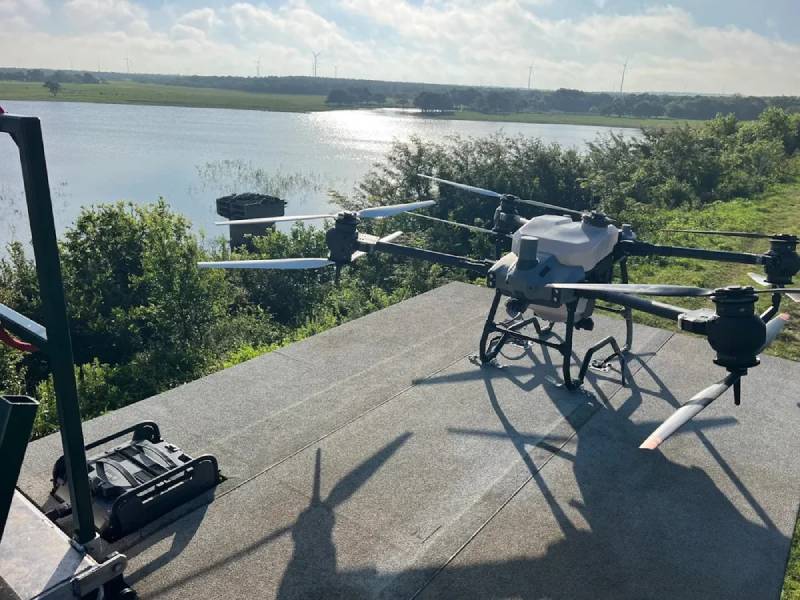
Then, drones are deployed for precise treatment using licensed pilots and approved programs. Finally, you receive clear reports that show measurable results and next steps.