
FAA Instrument Rated Private Pilot
License #4144473
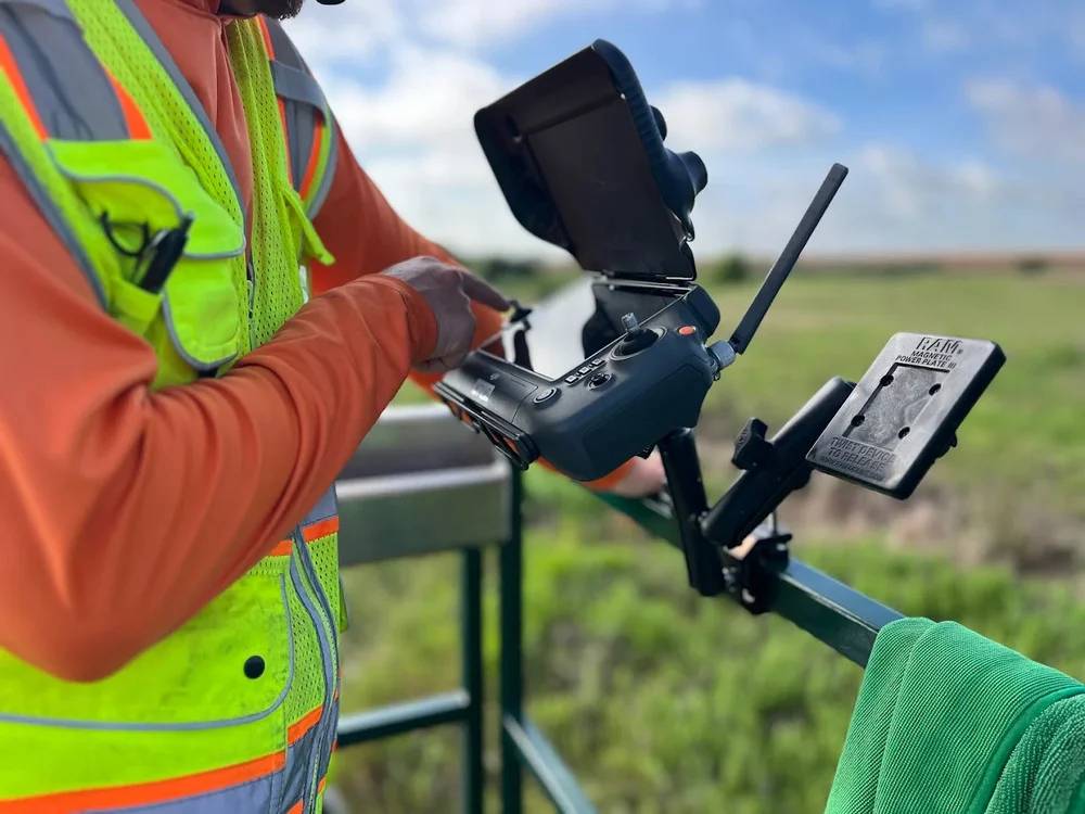
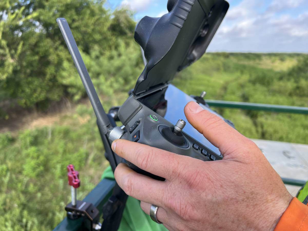
FAA UAV/RPIC
License #4985078

Texas Department of Agriculture
License #0727441


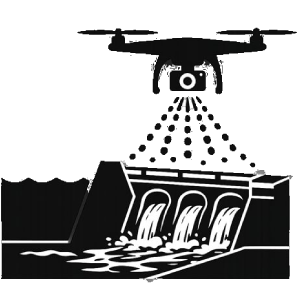
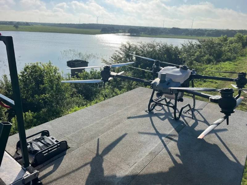
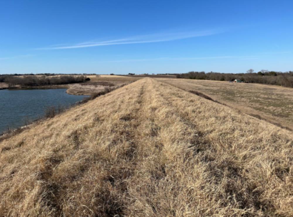
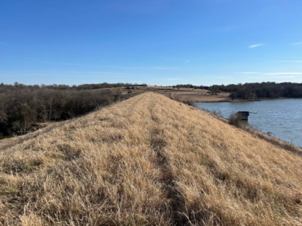
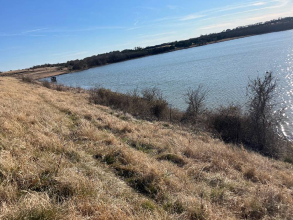
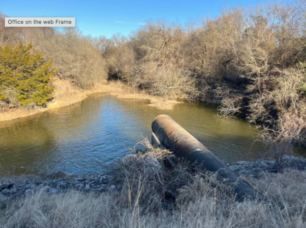
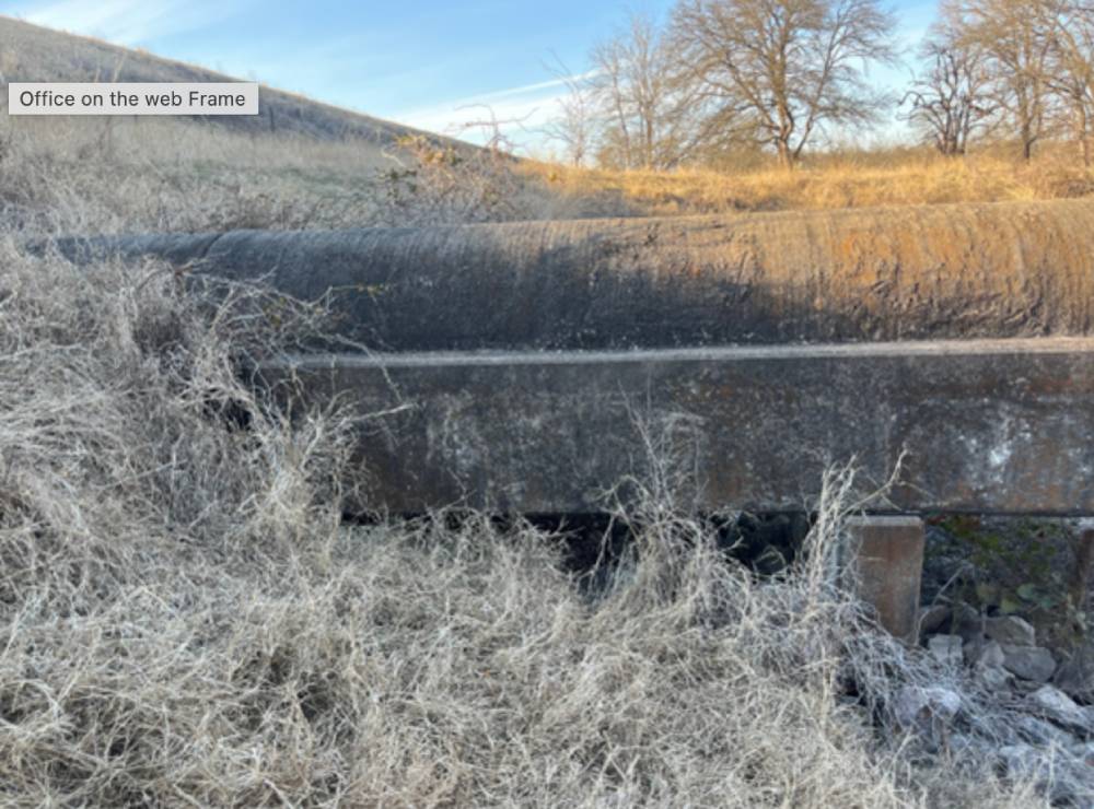
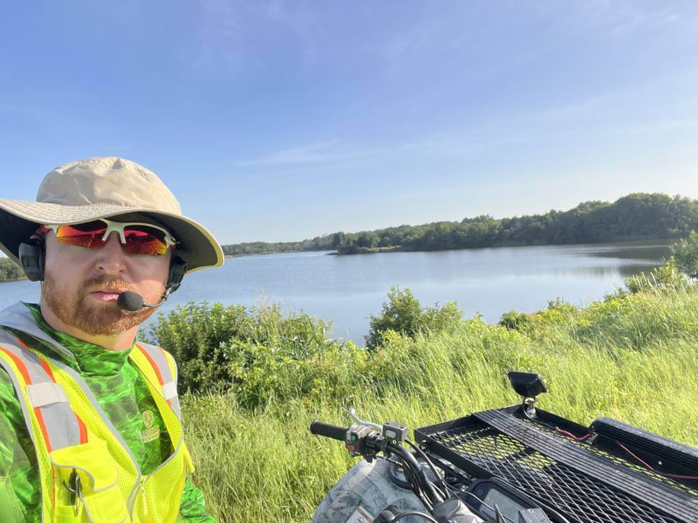
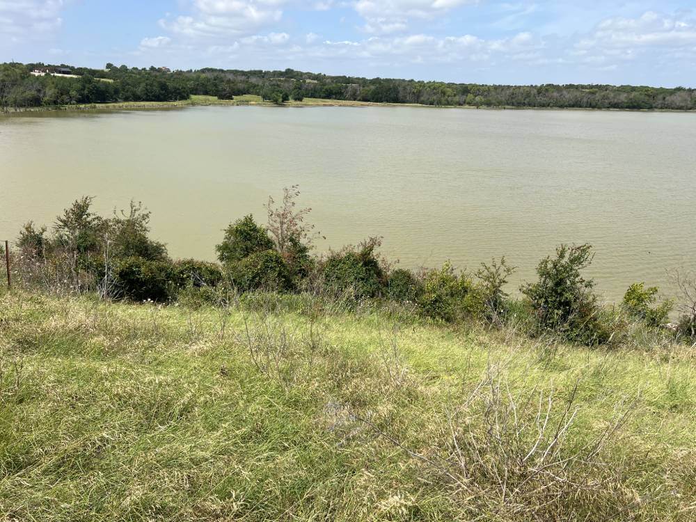
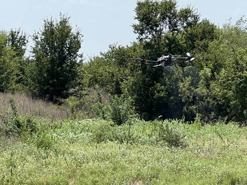
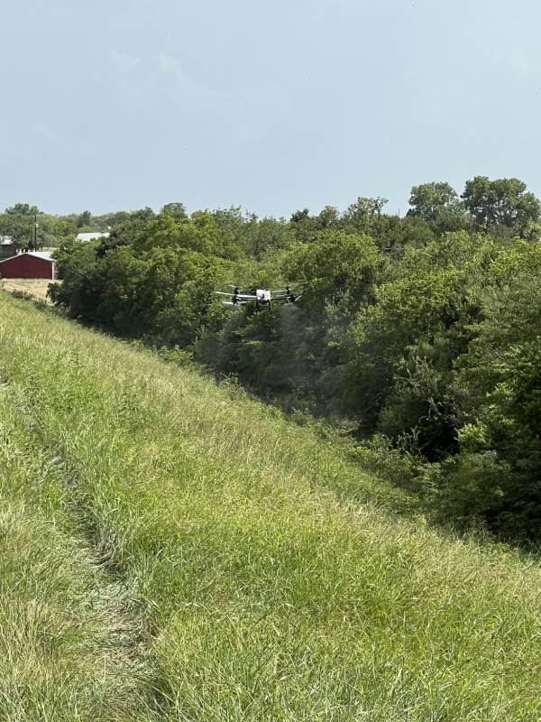
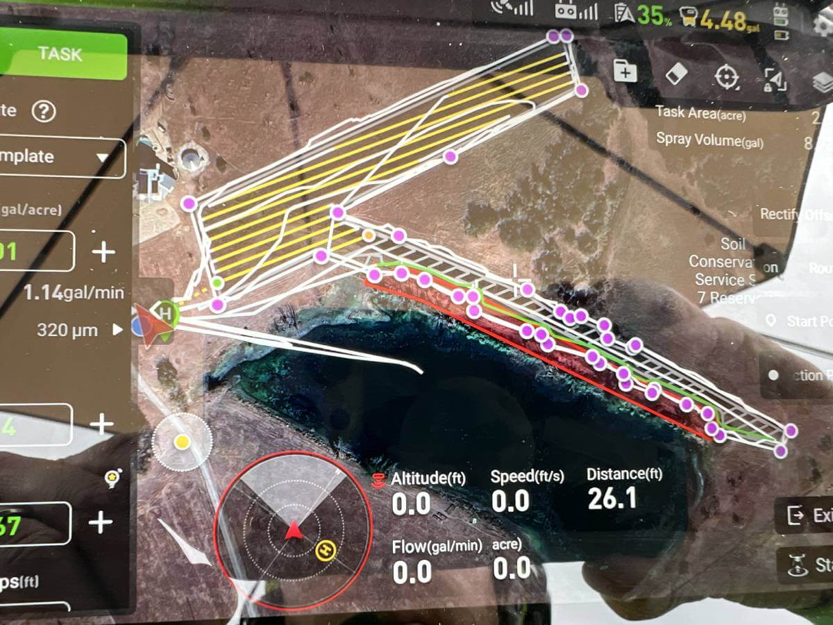
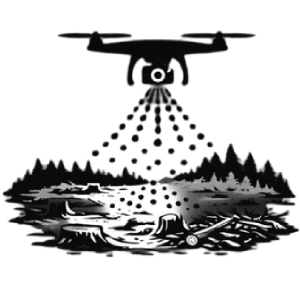
Watershed/Dam Vegetation Control
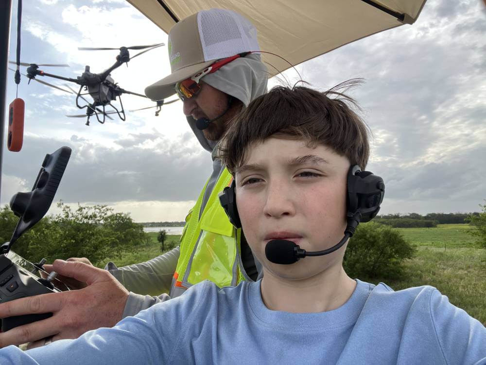
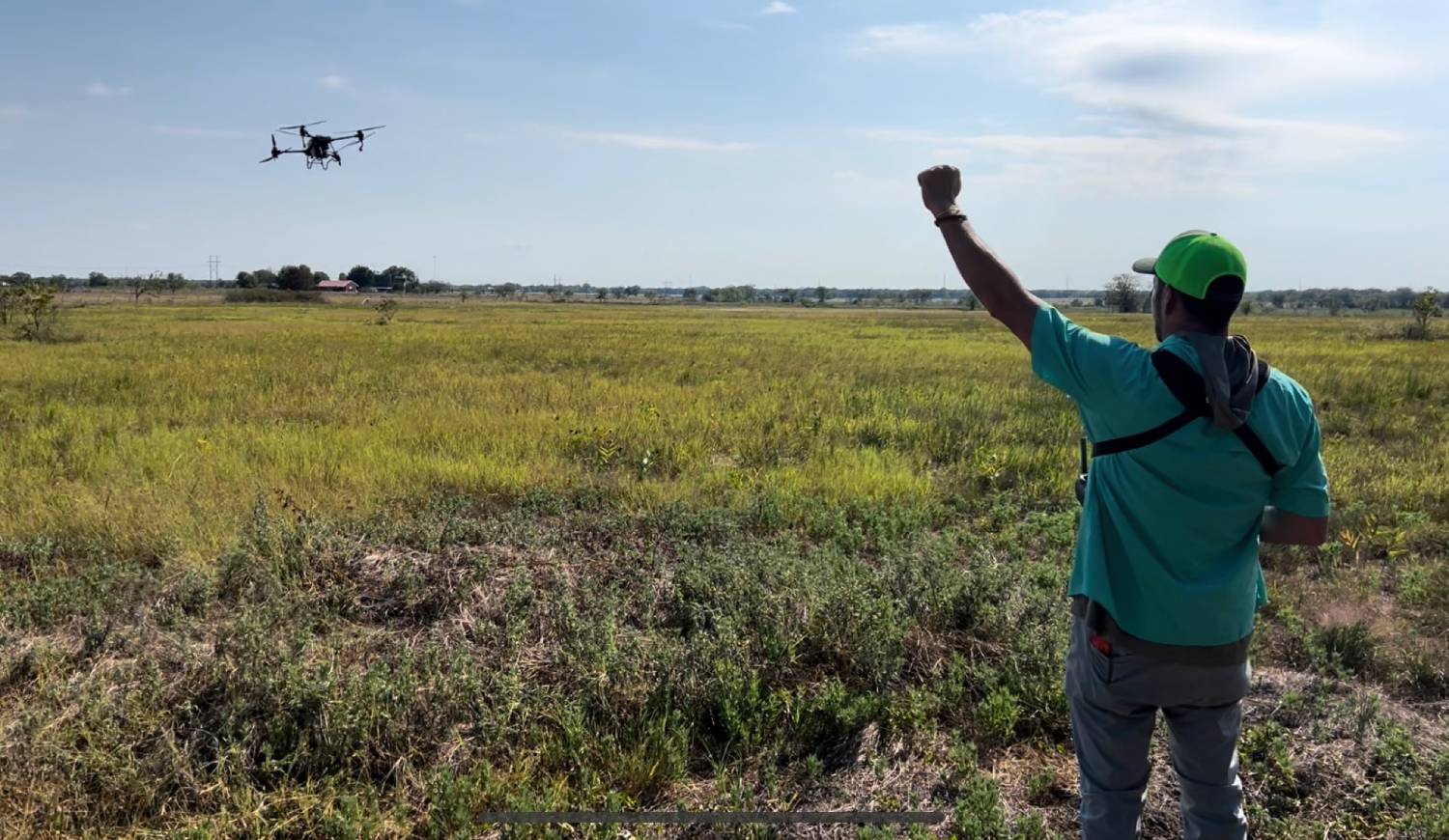
Precision aerial vegetation control for dams, levees, and watersheds, safely managing invasive growth while protecting infrastructure, water flow, and surrounding environments.
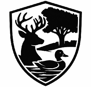
Wildlife Habitat improvement
Aerial drone seeding for duck hunting clubs, bottomland, and sloughs, improving habitat, biodiversity, and food sources for waterfowl, deer, turkey, and quail.
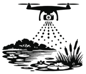
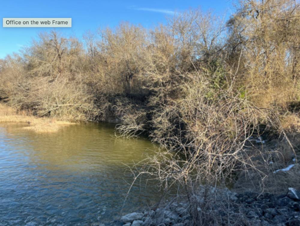
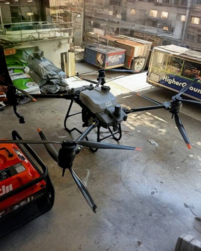
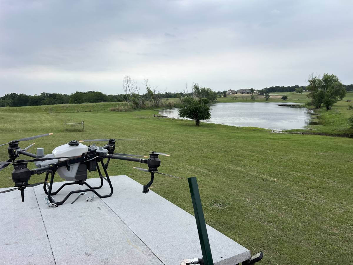
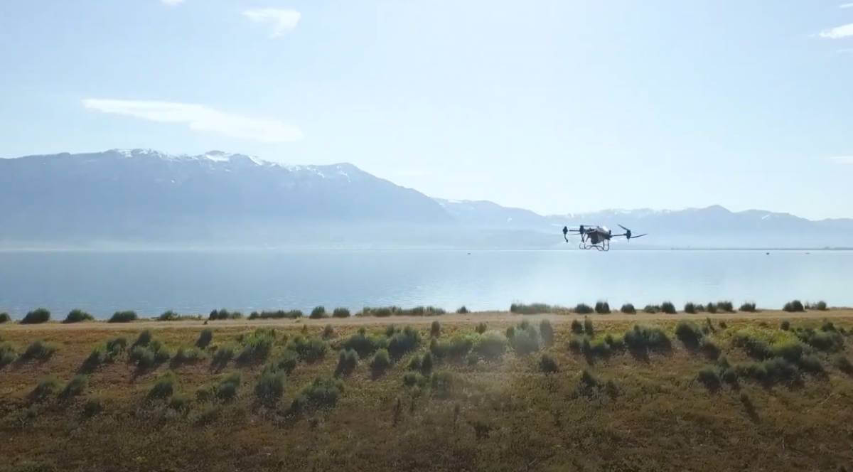
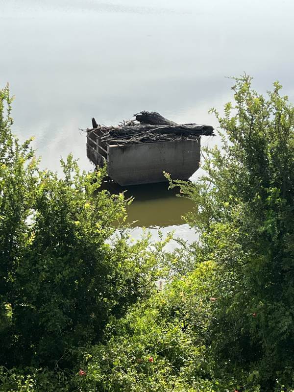
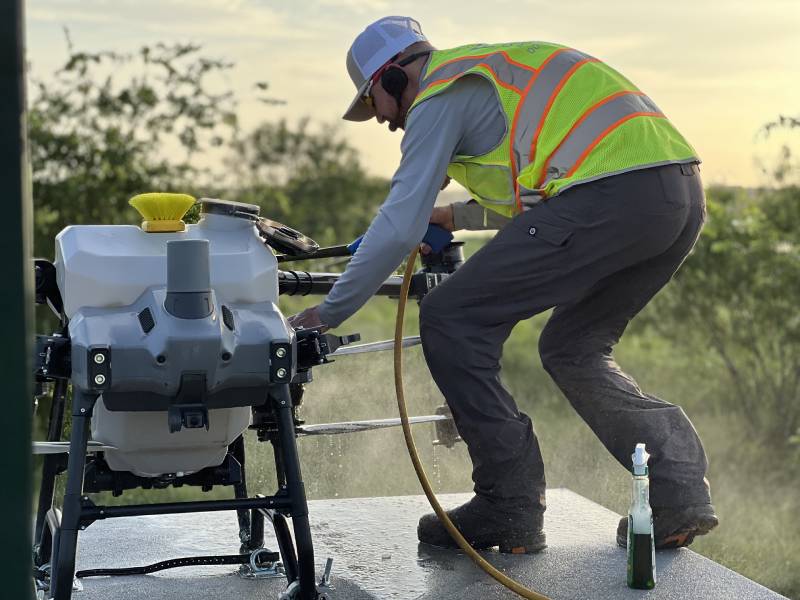
Aquatic Aerial Spraying
Service
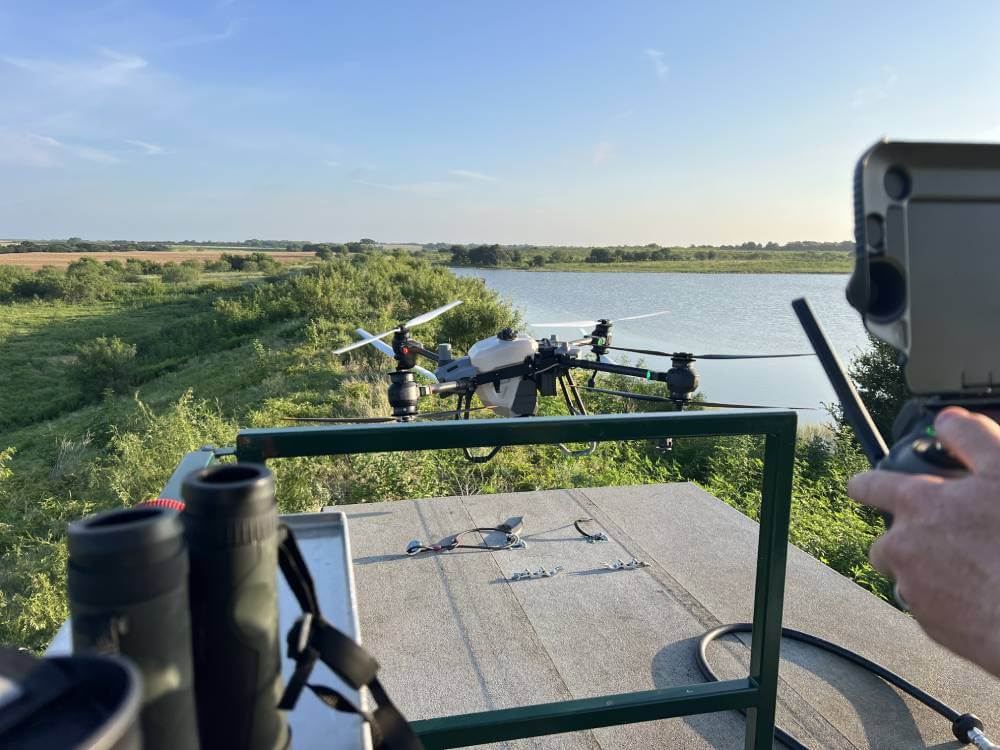
Drone spraying for invasive aquatic vegetation in ponds, lakes, rivers, and waterways—improving water quality and ecosystem health.
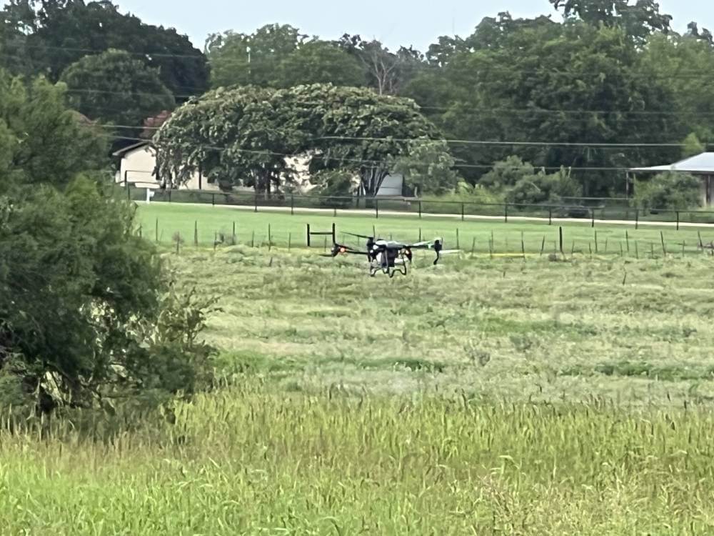
Aerial Vegetation Management
Targeted aerial vegetation control for infrastructure, watersheds, and facilities—improving safety, access, and regulatory compliance.

Mesquite
Control
Mesquite control restores land health, improves biodiversity, and reduces long-term maintenance costs.

Cactus Control Solutions
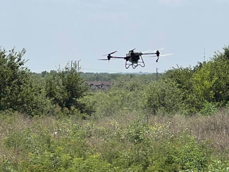
Herbicide application for effective Prickly Pear and invasive cacti control across Texas and Oklahoma land.
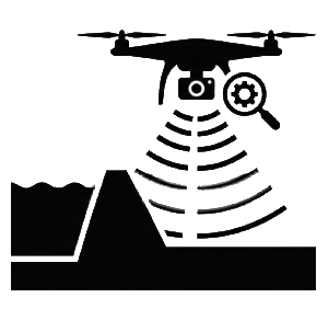
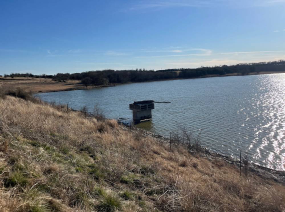
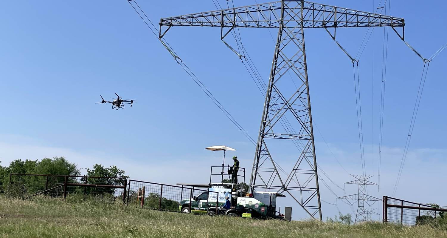
Drone and Levee Dam Inspection
Advanced drone imaging detects early levee and dam issues, supporting safer, preventative infrastructure maintenance.
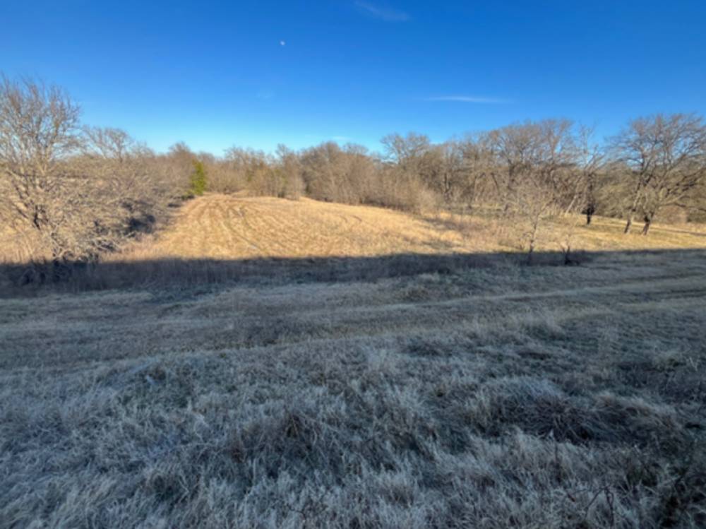
Forestry Site Prep/Brush Management
Clearing brush and managing vegetation to support healthy regrowth, reduce fire risk, and improve forest accessibility.